

St. Louis River Estuary National Water Trail
Map Sponsorship
Due to popular demand, the St. Louis River Alliance is now accepting sponsors for the fourth printing of the St. Louis River Estuary National Water Trail map. There are limited spaces available. Application deadline extended to May 9.
Sponsorship Levels
-

Gold Level $1,200
Minimum of 1.5”x1.5” full color logo + two lines of contact information (i.e. phone, website, etc.) *NO QR Codes
Placed in the most visible location on the back quarter panel of the map/first fold-open.
There are approximately 16 spaces for sponsors at this level, making this the most exclusive sponsorship available.
-

Silver Level $600
Minimum of 1”x1” full color logo + one line of contact information (i.e. phone, website, etc.) *NO QR Codes
Located on inside map. There are approximately 36 spaces for sponsors at this level.
-

Bronze Level $100
Name in type only on inside map, NO LOGO.
There are roughly 120 spaces available.
Great for individuals and families.
Sponsorship Details
-

Benefits
As a sponsor, your brand will be seen by river adventurers, including kayakers, canoeists, boaters, birders, fishermen, wildlife enthusiasts, history buffs, tourists, and residents.
Through physical map distribution, social media, direct email, and an online presence, you’ll reach over 10,000 Water Trail explorers.
Check out our Sponsor Level & Benefit sheet HERE.
-

Map Details
The St. Louis River Estuary National Water Trail Map is a free, valuable resource for river enthusiasts and promotes the incredible local businesses of the Twin Ports!
The map highlights the 11 Water Trail routes, and is in full color at 22x34 inches. You can view past PDF versions HERE.
-
Timeline
10,000 maps will be printed and distributed regionally, in addition to being available online for free June of 2025.
Application deadline extended to May 9, 2025. Apply online or print/mail a physical form.
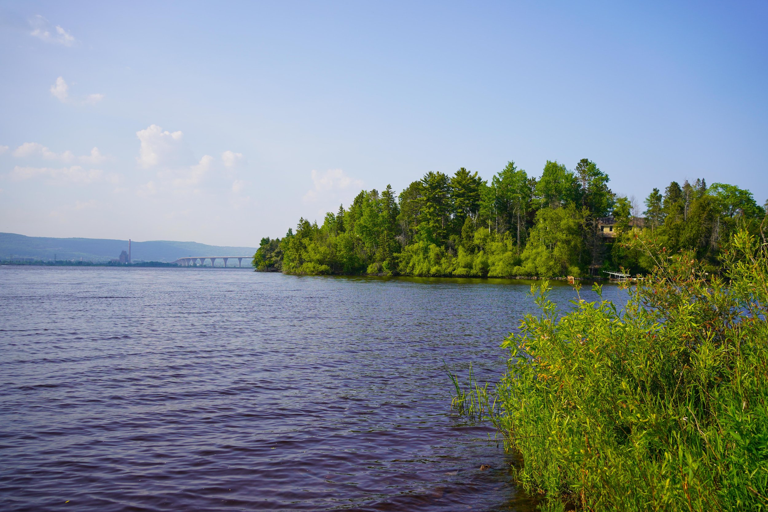
About the St. Louis River Estuary National Water Trail
At the headwaters of Lake Superior lies the St. Louis River Estuary National Water Trail, nestled between Duluth, Minnesota and Superior, Wisconsin. With 11 loop trails for paddlers and boaters of all skill levels and abilities, this multi-use waterway invites you to experience the wild diversity of the St. Louis River while being minutes away from town.


